

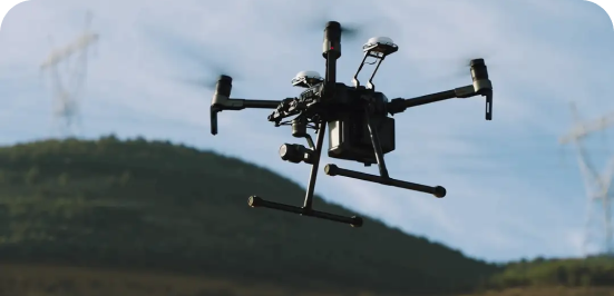
How We Work
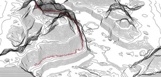
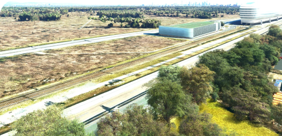
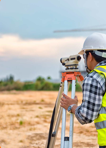
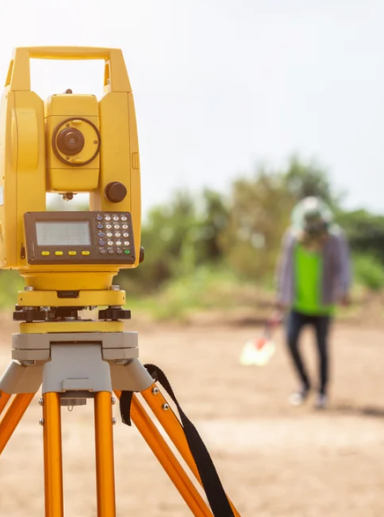
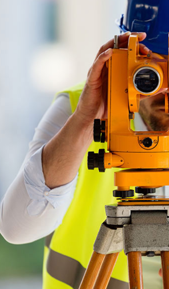
Topography
Topo contours generated from the point cloud elevation information that is verified by ground control points (GCPs) set with GNSS equipment.
Visual Inspections
High resolution images/videos for infrastructure inspections. Thermal imaging capable.
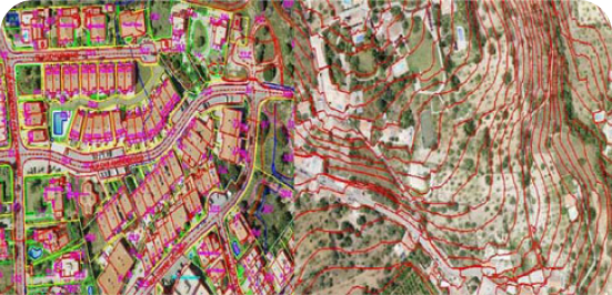
Planimetrics
We provide CAD-ready data with pre-classified points, lines, and polygons for easy integration into design and planning software.

Cross-Sections
We provide 2D and 3D cross-sections with precise coordinates and elevation for each point, ensuring detailed and accurate terrain analysis.
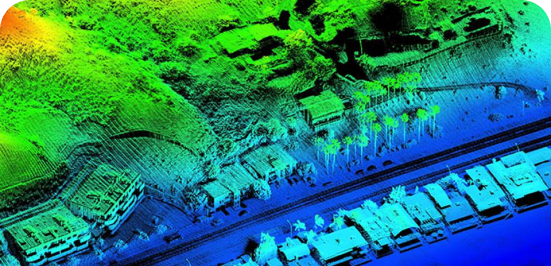
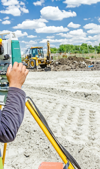
LiDAR Technology
We provide services including site progression tracking, dirt volume metrics, cross-sections, hydrology, and planimetric line work. Please inquire about our file format deliverables.
If your site is overgrown with dense foliage, no problem! We offer ground truthing and boundary verification services. We can set our own control points or localize to existing control.
Photogrammetry
We deliver high-resolution aerial images and precise 3D models, providing clear visuals and accurate spatial data for detailed analysis.
Our Mobile App Features


Get Our Mobile App


Our Gallery


We provide a mobile application that facilitates seamless collaboration between field teams, office staff, builders, and developers. This app helps eliminate miscommunications and expedite project timelines, ultimately leading to higher profit margins due to fewer errors and less wasted time. By gaining an aerial perspective through our application or drone services, you’ll have a better understanding of your projects.
Aerial Reconnaissance LLC offers a multitude of survey solutions, including construction layout and topography for design. We can either contract the right engineers for your project or work directly with any engineers you already have in place. Our goal is to provide comprehensive support tailored to your specific needs.
Planimetrics is a LiDAR solution we use to generate line work by connecting the dots and delivering polylines for infrastructure. This tool is particularly helpful for topographic surveys on larger projects with shorter timelines and avoids putting a ground crew in harms way on busy roads. By using planimetrics, we can help create detailed maps and plans for your development needs.
Dirt volumetrics involve calculating the amount of dirt that is stockpiled and could be used for site development. For instance, if you’re developing a 100-acre site and need to lower the site’s elevation, our LiDAR technology can tell you exactly how much dirt you’ll need to move and how many trucks will be required to haul it off. This information helps you better estimate your budget and project timeline.